
Trip Planning
Fuel and Range Planning for Remote Himalayan Routes: Where the Last Pumps Are
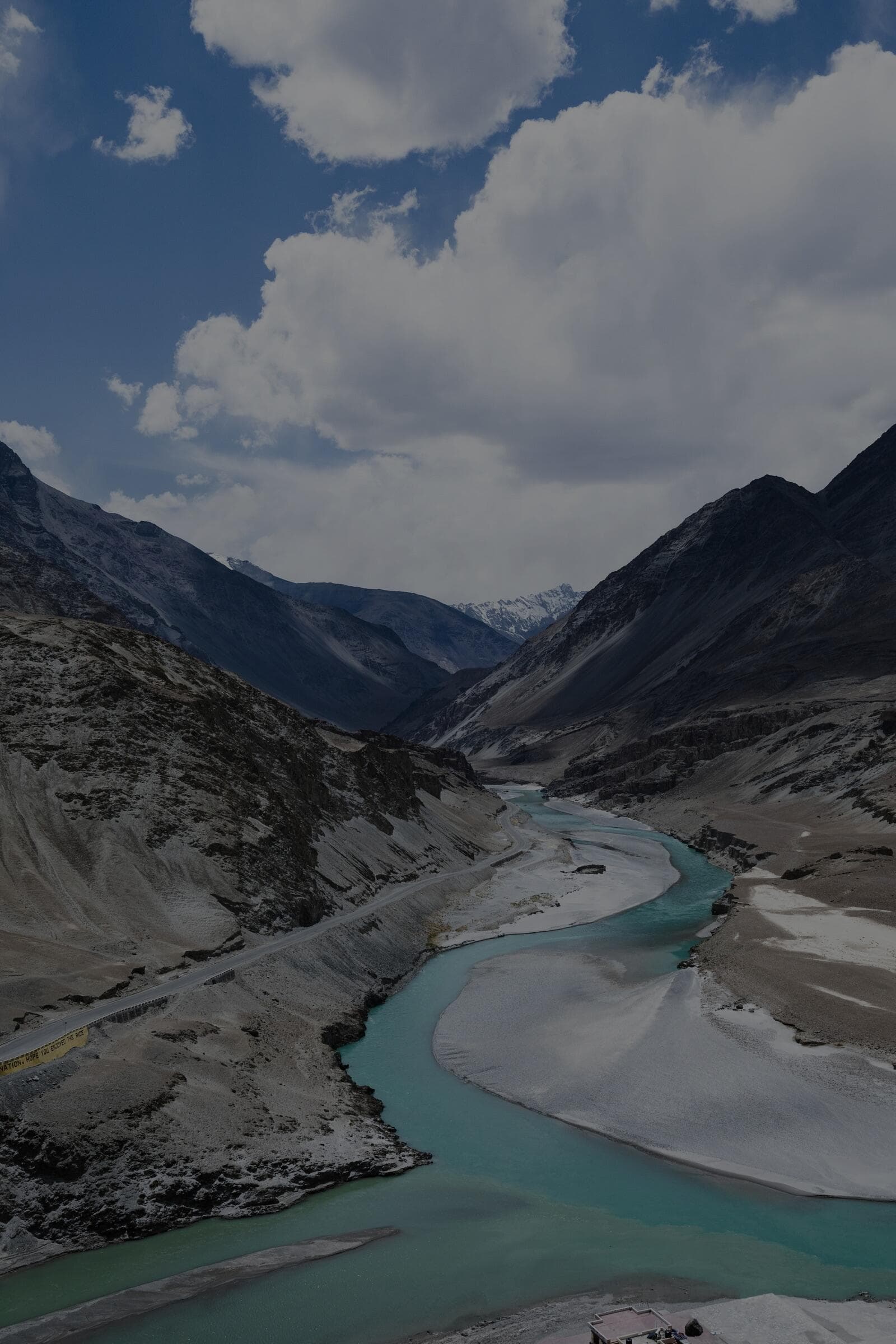
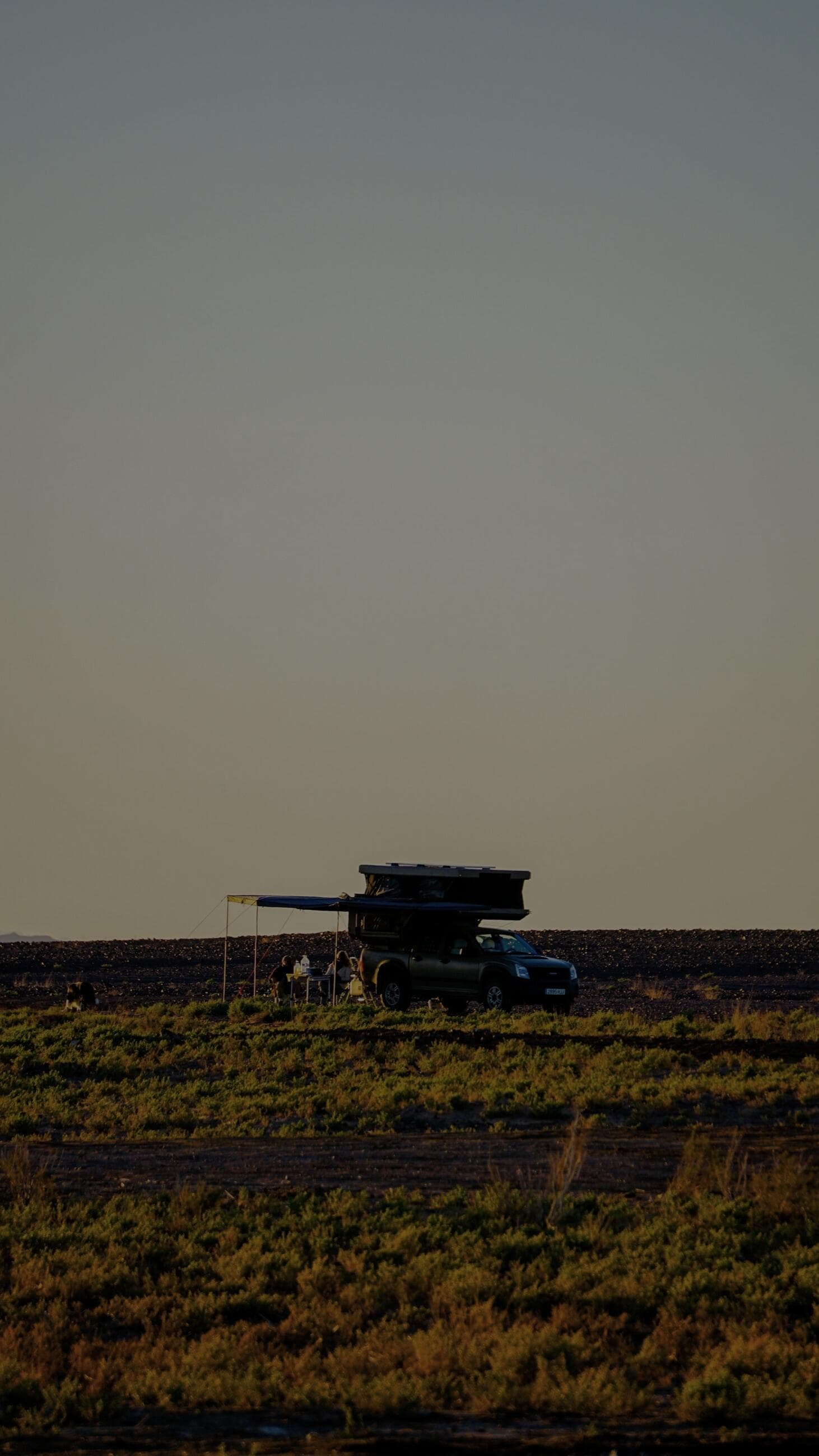
The Tso Moriri and Hanle loops can run 350 km with no fuel - here is where the last pumps are and how to plan range.
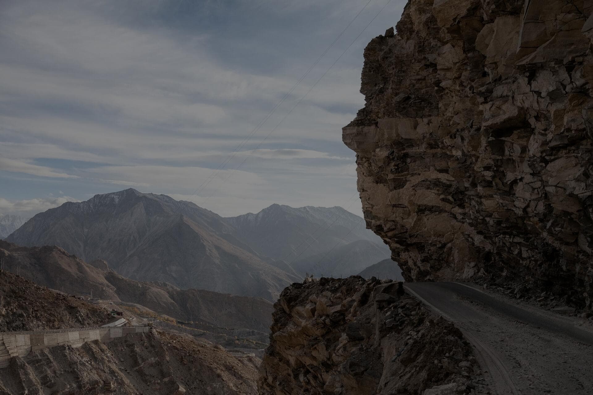
On remote Himalayan routes you must plan fuel as if the next pump does not exist, because frequently it does not. The critical fact: in Ladakh the last reliable fuel station heading into the deep south-east is at Karu/Upshi (just past Leh), and from there a loop through Hanle, Tso Moriri and back can run 350 to 450 km with no official pump in between. In Spiti, Kaza has the only regular fuel station for a vast area, and it can run dry or shut, so the practical stretch from Reckong Peo to Kaza to Tabo and back must be planned around that single point. The rule we live by is the rule of thirds adapted for the mountains: never let the tank drop below the fuel you need to reach the next known pump plus a hard reserve, and always carry jerry cans on the genuinely remote legs. High altitude, low gears, heavy loads and headwinds wreck your normal mileage, so plan on consuming far more than your highway figure.
Where are the last fuel pumps before the remote zones?
Memorise these chokepoints, because everything downstream depends on them. In Ladakh, Leh has multiple pumps, and Karu/Upshi just south is your true last reliable fill before the Hanle/Tso Moriri/Pangong-east triangle - there is no official pump at Hanle, Korzok or Chushul. For the Nubra direction, fill in Leh and again at Diskit, the last pump before Turtuk and the far valley. On the Leh-Manali highway, Tandi (near Keylong) is famous as the last pump for the long run toward Leh - the Tandi-to-Leh stretch is often cited as one of the longest no-fuel highway gaps in India, on the order of 365 km. In Spiti, Kaza is the lone regular station; coming from Shimla you fill at Reckong Peo, and coming from Manali you fill at Tandi or Manali before the climb.
- Leh: reliable, multiple pumps - your main staging fill for everything in the region.
- Karu / Upshi: last reliable pump before Hanle, Tso Moriri and Pangong-east. Fill to the brim here.
- Diskit (Nubra): last pump before Turtuk and Thang - do not pass it on empty.
- Tandi (near Keylong): last pump on the Manali side before the very long run to Leh - legendary for a reason.
- Reckong Peo: last proper pump on the Shimla approach to Spiti before Kaza.
- Kaza: the only regular fuel station in Spiti, and it can run out - never assume it is full or open.
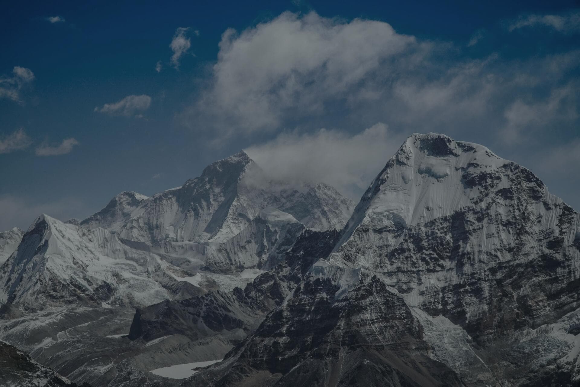
How much range do you really lose at altitude?
More than people expect. Naturally aspirated and even turbo engines lose power in thin air, you spend long stretches in low gears grinding up passes and crawling over rock, and a roof-loaded, fully kitted overland vehicle is heavy. All of that pushes fuel consumption well above your comfortable highway number. We plan conservatively: take your real-world highway mileage and assume the mountains will cost you a meaningful fraction of it, then size your reserve around the worse figure, not the optimistic one. Cold makes it worse again in winter, when idling to stay warm and running heaters burns fuel while you are not even moving. The result is that a tank you think is good for 600 km on the plains might realistically cover far less on a hard mountain leg - so do the maths on the pessimistic number.
A worked range table for the Karu-Hanle-Tso Moriri loop
Let us put real numbers to it. Say you run a diesel that returns about 12 km/l on the highway but you assume a pessimistic 8 km/l for the loaded, low-gear, high-altitude mountain work - that is the kind of honest haircut these routes demand. From Karu, a loop out to Hanle, across to Tso Moriri and back toward Leh can total roughly 400 km with no pump in between. At 8 km/l that leg needs about 50 litres of fuel. If your tank is 60 litres, on paper you make it - but only if you started full, nothing went wrong, and you never took a detour. That is far too thin a margin for terrain this remote, so the plan is to leave Karu brimmed and carry an extra 20 to 30 litres in jerry cans, giving you a real reserve for a closed road, a recovery, a wrong turn, or a colder-than-expected night of idling. This is the arithmetic that keeps a vehicle from sitting on red twenty kilometres short of help.
How should you carry and manage extra fuel?
- Carry proper metal jerry cans rated for fuel, mounted securely and externally where fumes vent - never loose plastic cans inside the cabin.
- For the remote Ladakh loops, 20 to 40 litres of spare is a sensible margin depending on your tank size and route; for the Tandi-Leh run, top up at Tandi and carry a reserve.
- Fill to the absolute brim at every chokepoint pump, even if you are only half empty - the next one may be 300 km away or dry.
- Treat fuel as a no-trade resource in a convoy: agree before you start that nobody runs their main tank below the agreed reserve.
- Keep the tank above half in winter to reduce condensation and add anti-gel additive before the cold legs.
- Buy fuel early in the day in Kaza or Diskit - small-town pumps can run out by afternoon and may close on holidays or for power cuts.
I have seen a convoy stranded twenty kilometres short of Karu because everyone assumed someone else had spare diesel. Fuel is the one thing you do not gamble on in the Himalaya. Fill to the brim at the last pump, carry jerry cans on the deep legs, and decide your reserve before you leave - not when the needle is already on red.
Winter changes the fuel game
On a winter run like our Spiti Frozen expeditions, fuel planning gets harder in three specific ways, and ignoring any of them can leave you stranded. First, you burn fuel you are not using to move: idling to keep the cabin and people warm, and running a heater, eats range while the odometer barely turns, so your effective mileage drops further still. Second, diesel can gel in extreme cold - at the -20C nights Spiti throws at you, untreated diesel can wax up and clog the fuel filter, so an anti-gel additive going in before the cold legs is not optional. Third, the supply itself gets less reliable: small high-altitude pumps can be shut for snow, power cuts or simply running dry, and the buffer of passing tourist traffic that keeps them stocked thins out in winter. The winter rule is the summer rule with the margins widened: brim it earlier, carry more reserve, treat the fuel against gelling, and never plan to arrive at a remote winter pump hoping it is open.
What is a simple range-planning method that works?
Use a leg-by-leg worst-case table. For each segment, write the distance to the next known pump, multiply by your pessimistic mountain consumption to get litres needed, then add a fixed reserve (we use enough for an extra 80 to 100 km, because detours, closed passes and recoveries happen). If the total exceeds your tank, you carry jerry cans for that leg - simple. Mark the chokepoint pumps on an offline map (you will have no signal), note their typical opening realities, and never plan to arrive at a remote pump on fumes hoping it is open. The discipline is boring and it is exactly why it works: in five seasons we have never run a vehicle dry, because we always sized for the bad day, not the good one.
- List each leg with the distance to the next reliable pump - not the next dot on the map, the next pump you trust.
- Multiply each distance by your pessimistic mountain consumption to get litres needed.
- Add a fixed reserve of enough fuel for an extra 80 to 100 km for detours, closures and recoveries.
- If a leg's total beats your tank, carry jerry cans for that leg - and brim the tank before you start it.
- Save the pumps and your legs on an offline map, because you will have no signal exactly where this matters most.
Frequently Asked Questions
How far is the longest no-fuel stretch in Ladakh?
The Tandi-to-Leh run on the Manali highway is the classic long gap, around 365 km with no reliable pump, which is why Tandi is treated as a mandatory fill. The Hanle/Tso Moriri loops from Karu can also exceed 350 km round trip with no fuel, so both demand a brimmed tank and a carried reserve.
Is fuel quality a problem in remote pumps?
It can be variable, and at small high-altitude pumps you occasionally get water or sediment. Carry a spare fuel filter, fill at busier reliable stations where you can, and avoid the very bottom of a station's tank if a tanker has just refilled it and stirred up sediment. A spare filter weighs nothing and has saved more than one trip.
Can I rely on roadside black-market fuel?
Sometimes villagers and dhaba owners sell fuel from drums at a premium in places like Korzok or remote Spiti, but it is unreliable, often poor quality, and you cannot plan around it. Treat it as an emergency bailout only, never as part of your plan. Building a route around fuel you hope to find is how convoys end up stranded.
Petrol or diesel for remote Himalayan overlanding?
Diesel dominates here for torque, range and the simple fact that most pumps and vehicles are diesel. Whichever you run, the planning rule is identical - know your last pump, size for the worst case, and carry a reserve. Diesel's one winter weakness is gelling in extreme cold, which an anti-gel additive handles before the cold legs.
Put it into practice
Want it all handled? Join a fully-supported AdventureX4x4 expedition.