Skip to content
AdventureX4x4

Trip notes

Northeast overland expedition

A Northeast overland expedition is a self-drive 4x4 loop through India's green eastern frontier — Meghalaya's living root bridges, Dawki and Cherrapunji, then the Tawang road over Sela Pass into Arunachal Pradesh. Run it in the dry window (October to April), sort the Inner Line Permit before Arunachal, and pack for recovery — wet clay and washed-out tracks, not snow. This is the field guide to driving the Northeast, and getting back out.

Two states
Meghalaya · Arunachal
High point
Sela 4,170 m
Best season
Oct – Apr (dry)
§ 01Two states, one loop

The Northeast at a glance

One expedition spans two very different drives. Meghalaya is low, wet and green; Arunachal is high, remote and permit-gated. Here is how the two halves compare before you commit a single kilometre.

Comparison of the Meghalaya and Arunachal legs of a Northeast overland expedition across drive, permit, altitude, hazard, season and camp priority.
 MeghalayaArunachal
Headline driveCherrapunji rain country, Dawki's Umngot river, Nongriat root bridgesSela Pass to Tawang, Bumla approach, Dirang & Bomdila backroads
PermitNone for Indian travellersInner Line Permit (ILP) — mandatory; PAP for foreigners
Altitude range~350 m (Dawki) to ~1,430 m (Cherrapunji)~1,500 m (Dirang) to ~4,170 m (Sela Pass)
Surface hazardWet limestone, clay, leeches, flash downpoursLandslip zones, broken tarmac, ice on Sela in shoulder season
Best monthsOctober – April (avoid the June–September monsoon)October – April; Sela can hold snow into spring
Camp priorityRain shelter — awning + dry cooking spotWarm layer for Sela, recovery kit for slips
§ 01The route
A 4x4 on a green forest backroad threading through the Indian Northeast

What a Northeast overland expedition actually covers

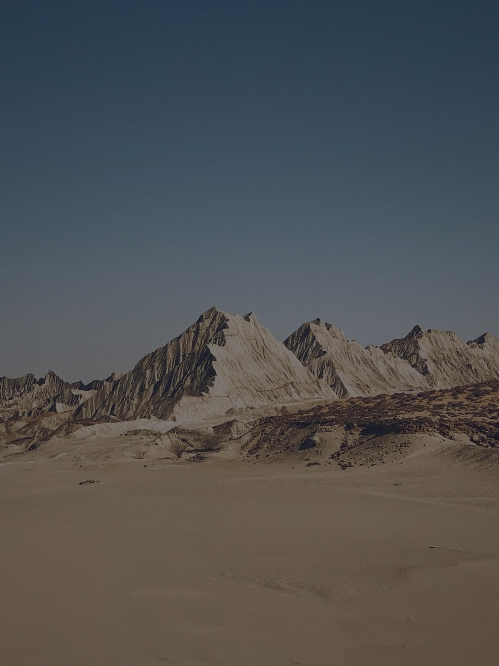
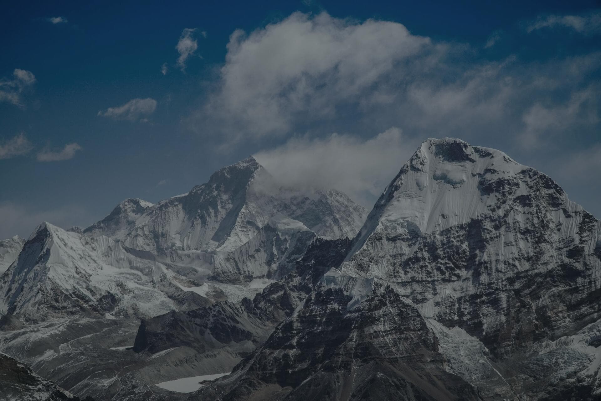
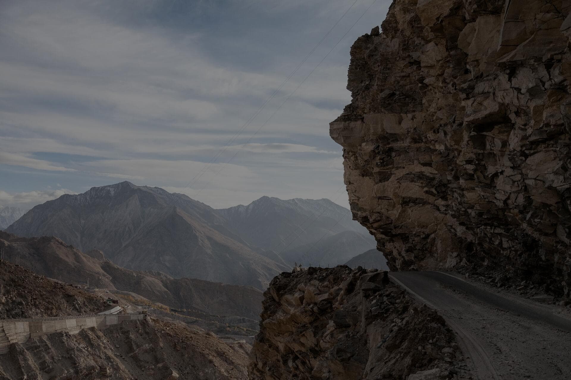
A Northeast overland expedition is the long, green counterweight to the Himalayan ice runs. Instead of frozen passes you get rainforest, gorge country and the wettest air in India, threaded together by a single self-drive loop out of Guwahati. The classic shape — the one our Northeast Backroads convoy runs — drops south first into Meghalaya's Khasi Hills (Shillong, then Cherrapunji at about 1,430 m), out to Dawki and the glass-clear Umngot river on the Bangladesh border, and across to Mawlynnong, marketed for years as Asia's cleanest village. Then it swings north and east, across the Assam plains past Kaziranga, and climbs into Arunachal Pradesh — Dirang, over Sela Pass, into Tawang.

Two states, two completely different drives, one trip. Meghalaya is low, lush and limestone — a place of waterfalls, caves and the famous living root bridges. Arunachal is high, remote and tribal — a place of monasteries, border roads and a 4,170 m pass. Most of the searches people make for this region — meghalaya self drive, living root bridges drive, tawang road trip, northeast overland — are really asking about pieces of this same loop. This guide treats them as one expedition because on the ground that is exactly what they are.

§ 02Meghalaya
Overland vehicle parked at a remote camp on the Northeast loop

Meghalaya: living root bridges, Dawki and the wettest miles in India

Meghalaya is where the trip earns its 'abode of the clouds' name. Cherrapunji and neighbouring Mawsynram trade the title of wettest place on earth year after year, and you feel it in the driving: limestone that turns greasy in seconds, waterfalls that appear across the road, and cloud that swallows a viewpoint between two photographs. The signature stop is the double-decker living root bridge at Nongriat below Cherrapunji — a footbridge the Khasi people have trained from living rubber-fig roots over generations, reached on foot down a long staircase, not by vehicle. You park at the trailhead; the bridge is the reward for the walk.

Dawki, down at roughly 350 m on the border, is the other set-piece: in the dry season the Umngot river runs so clear the boats look like they are floating on glass. Between these, the driving is genuinely good fun and genuinely slippery — narrow hill roads, blind wet bends, and the odd section where a culvert has simply washed away. None of it needs snow chains. All of it rewards a vehicle with decent ground clearance, a recovery kit you know how to use, and the patience to wait out a cloudburst rather than push a flooded crossing.

§ 03Arunachal
High Himalayan ridgeline near Sela Pass on the road to Tawang in Arunachal Pradesh

Arunachal: Sela Pass, Tawang and the Inner Line Permit

Crossing from Assam into Arunachal at the Bhalukpong gate, the trip changes character entirely. This is restricted-border territory: every Indian traveller needs an Inner Line Permit (ILP), and foreign nationals a Protected Area Permit — arrange it before you arrive, because there is no improvising at the checkpost. From Dirang the road climbs to Sela Pass at roughly 4,170 m, the one truly high, cold stretch of an otherwise green expedition. Sela holds a frozen lake near the top and can carry snow and black ice into spring, so even on a 'green' trip you carry a warm layer and treat the pass with Himalayan respect.

Beyond Sela lies Tawang — the great 17th-century monastery, the war memorial, and the road on toward the Bumla pass approach near the border. The Arunachal backroads through Dirang and Bomdila are some of the least-crowded mountain driving left in India: long, slow, landslip-prone and spectacular. Because this leg touches real altitude, the same first-day caution from any Himalayan trip applies — don't gain Sela's height cold and tired, drink more water than feels natural, and give yourself a buffer day for the weather to close the pass, which it does.

§ 04Monsoon & recovery
A forest rooftop-tent camp under the canopy on a wet Northeast overland route

Monsoon overlanding and the recovery reality

The single biggest planning decision for the Northeast is when, not where. The southwest monsoon runs roughly June to September and the Khasi and Jaintia Hills take the full force of it — Cherrapunji's annual rainfall is measured in metres, not millimetres. In peak monsoon, landslides close roads without warning, river crossings become impassable, and forest tracks turn to leech-infested mud. The honest advice is to run the loop in the dry window, October to April. If you do travel in the wet shoulders, treat every washed-out section as a stop-and-assess, never a charge-through, and build slack days for closures you cannot predict.

That is why this is recovery country, not snow-chain country. The gear that keeps a Northeast trip moving is a pair of traction boards for clay and mud, a kinetic recovery rope with rated soft shackles for a vehicle-to-vehicle pull, and the knowledge to rig a safe recovery on a slope. Our recovery range — nylon kinetic ropes and straps with genuine stretch, 48,300 lb soft shackles, a 66,000 lb snatch ring and a reflective cable damper for winch work — is built for exactly this: a stuck vehicle on a wet grade with no tow truck for a hundred kilometres. Air your tyres down a few PSI for grip in mud and re-inflate on tarmac, and never recover without a damper over the line.

§ 05Camp & shelter
Overland basecamp with a deployed awning providing rain shelter in the Northeast

Camping in the green: shade, rain and the case for a 270° awning

Camping the Northeast is the opposite problem to camping Spiti. The enemy is not the cold — outside Sela it is mild and green — it is water and humidity. A clear hour at a Cherrapunji camp can become a downpour while the kettle boils, and a wet camp with nowhere dry to cook or sit drains morale fast. This is where a freestanding 270° awning stops being a luxury and becomes the most-used piece of kit on the trip. Deployed off the side of the vehicle it throws a large wrap-around shaded, rain-sheltered living area in under a minute — a dry kitchen, a dry boot-changing spot, a place to wait out the cloud.

Our SaberLight 270° freestanding awnings are built for this: a strong aluminium arm structure that deploys without legs in normal conditions, optional support legs for wind, and heavy-duty ripstop fabric with a high waterproof rating that genuinely handles rain. Pair it with a rooftop tent for sleeping up off the wet ground, manage condensation by venting even when it is muggy, and dry your kit at every clear window because nothing dries on its own in this air. Plan your water knowing rivers are everywhere but rarely safe to drink untreated, and you have the shape of a comfortable green-season camp.

“In the Northeast the mountains don't freeze you — the rain just quietly takes the road out from under you. Carry the boards, time the monsoon, sort the permit. The green gives you the rest.”

Dinesh, founder — on the Northeast Backroads briefing

Rather not solo the permits and the rain?

Run the Northeast with a convoy that handles the paperwork

Our Northeast Backroads expedition is the guided version of everything on this page: a twelve-day Guwahati loop through the living root bridges, Dawki and Mawlynnong, then across the Assam plains and over Sela Pass to Tawang — with the Arunachal ILP arranged, a lead vehicle, a mechanic, recovery support and convoy comms. You drive; we carry the logistics.

Guided · intermediate grade

12 days · Oct – Apr

Guwahati to Tawang and back, the green frontier way.

§ 07Frequently asked

The Northeast, answered

The questions we field before every green-season departure — timing, permits, and what actually keeps a wet backroad moving.

The dry window, roughly October to April. The southwest monsoon (June to September) hits the Meghalaya hills hardest — Cherrapunji and Mawsynram are among the wettest places on earth — bringing landslides, road closures and washed-out crossings. October to early April gives you clear views of the Umngot river at Dawki, drier forest tracks to the living root bridges, and a Sela Pass that is cold but usually open. If you travel in the wet shoulder months, build in buffer days for closures and treat every flooded section as a stop-and-assess.

Yes. Every Indian traveller needs an Inner Line Permit (ILP) to enter Arunachal Pradesh, and foreign nationals need a Protected Area Permit (PAP). You arrange the ILP in advance (online or through the state's permit offices) and present it at the Bhalukpong checkpost on the Assam–Arunachal border. Meghalaya, by contrast, requires no permit for Indian travellers. Sort the ILP before you set off on the Tawang leg — there is no reliable way to improvise one at the gate.

It is mostly different. The Northeast is recovery country, not snow-chain country: the hazards are wet clay, greasy limestone, leech-slick forest tracks and washed-out culverts, where traction boards, a kinetic recovery rope and rated soft shackles matter far more than chains. The one exception is Sela Pass on the Dirang–Tawang leg at about 4,170 m, which can carry snow and ice in the shoulder seasons — if you are running that stretch in early spring or late autumn, carrying a chain set for the driven axle is sensible insurance. For the Meghalaya loop, leave the chains and pack the recovery kit.

You drive to the trailheads, not to the bridges themselves. The famous double-decker living root bridge at Nongriat, below Cherrapunji, is reached on foot down a long staircase of well over two thousand steps — no vehicle goes there. The overland part is the drive through the Khasi Hills to Cherrapunji and the village trailheads on narrow, wet, often steep hill roads; the bridges are the walking reward at the end. Several other root bridges around Cherrapunji and the Jaintia Hills follow the same pattern: drive in, then trek the final stretch.

Most of the loop is low and mild — Dawki sits at roughly 350 m and Cherrapunji at about 1,430 m, both warm and green. The exception is the Arunachal leg: the road from Dirang climbs over Sela Pass at around 4,170 m, the one genuinely high, cold stretch, with a frozen lake near the top and the chance of snow into spring. So you pack for two climates on one trip — light, quick-drying, rainproof layers for the Meghalaya rain country, and a proper warm layer plus first-day altitude caution for Sela and Tawang.

For recovery: traction boards for mud and clay, a kinetic recovery rope or strap with genuine stretch, rated synthetic soft shackles, and a reflective cable damper if you are winching — plus the knowledge to rig a safe pull on a slope, because there are no tow trucks on these backroads. For camp: a freestanding 270° awning is the highest-value item, giving you fast wrap-around rain shelter and a dry place to cook the moment a clear hour turns to downpour, paired with a rooftop tent to sleep up off the wet ground. Air down a few PSI for grip in mud, re-inflate on tarmac, and dry your kit at every clear window.

All expeditions
WhatsApp us